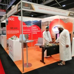
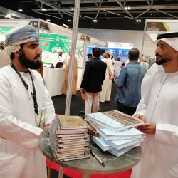
About us
Our Goals
- Supporting geological fields through various projects.
- Creating a partnership between the local and global markets.
Mission
The ESCC aims to provide front-edge services in geology, geophysics, and surveying, supported by top notch technologies and subject-matter experts. We look for a strong presence in the region and we strive for customer satisfaction.
Vision
Our vision is to maintain a dedicated hub that provides excellent services in various aspects of earth sciences in a satisfactory, collaborative and focused-on-purpose environment.
Strategy
The ESCC works to become visible in the region as a hub for geoscientific consultancies, so that local and regional companies and ministries identify the ESCC as a potential service provider in its specialty fronts.
Our Servies
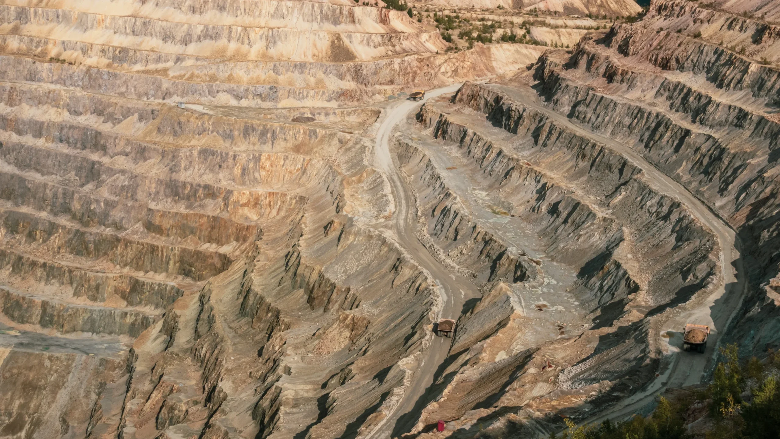
Mining Block Evaluation Studies
Our team is authorized to evaluate mining concession areas in Oman as per the international standards ...
Read More!
and the Ministry of Energy and Minerals standard. We could arrange for various types of analyses, including chemical, physical and some geophysical tests for different types of minerals and rocks.
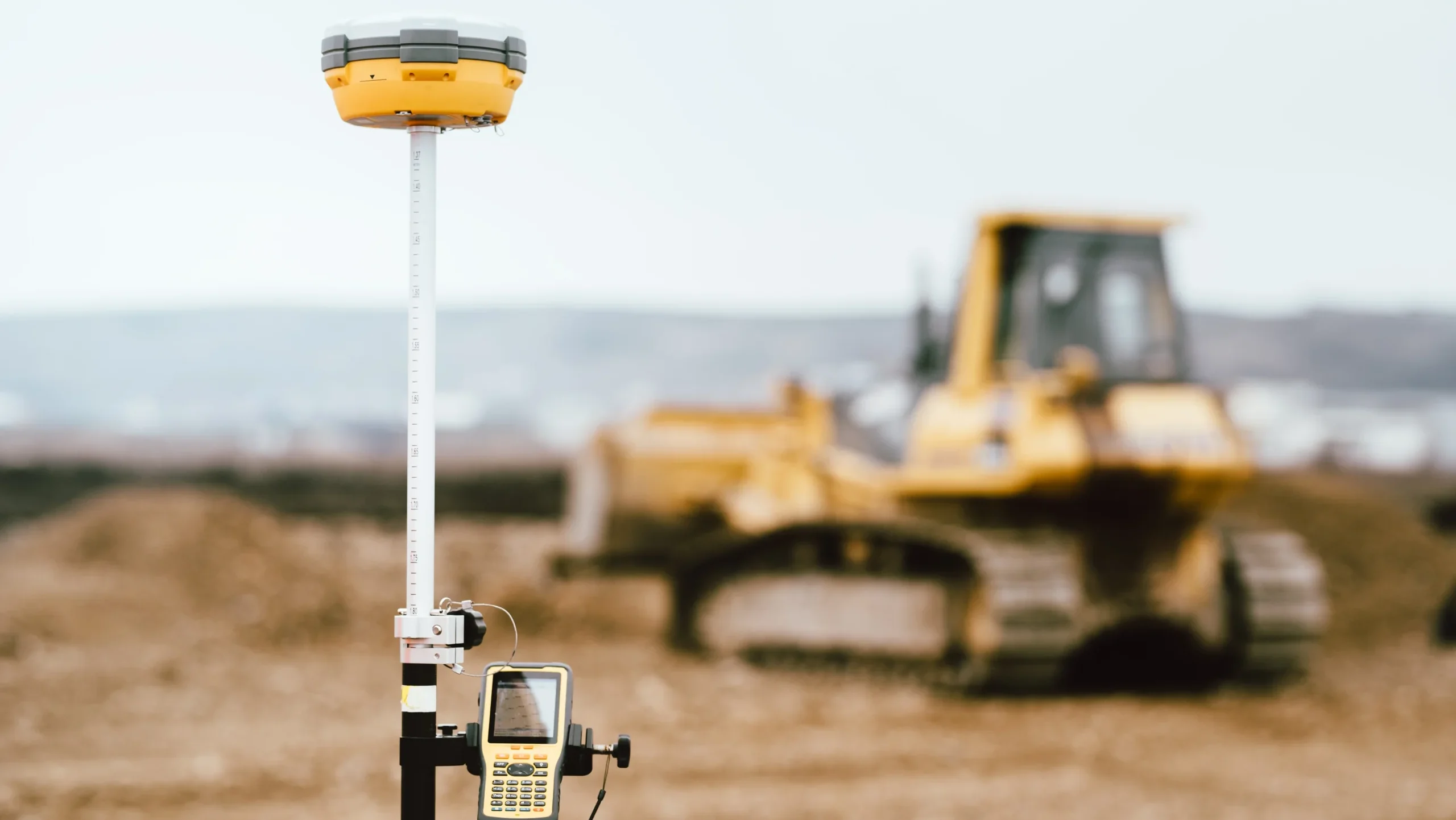
Topographic Studies and GIS Services
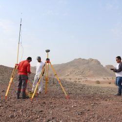
We could provide the following services: topographic and boundary survey contour mapping, pipeline route survey, ...
Read More!
residential lot survey, plant survey, staking of lot corners, cadastral survey, construction survey setting out/demarcation as built survey, route surveys, volumetric survey, volumetric calculation for site preparation and backfilling, and Geographic Information Systems “GIS” services.

Petroleum Reservoir Characterization & Integrated Studies
The ESCC staff members have been involved in many projects related to reservoir characterization and ...
Read More!
integrated studies of petroleum field development plans. The studies included different clastic and carbonate reservoirs in various parts of Oman.
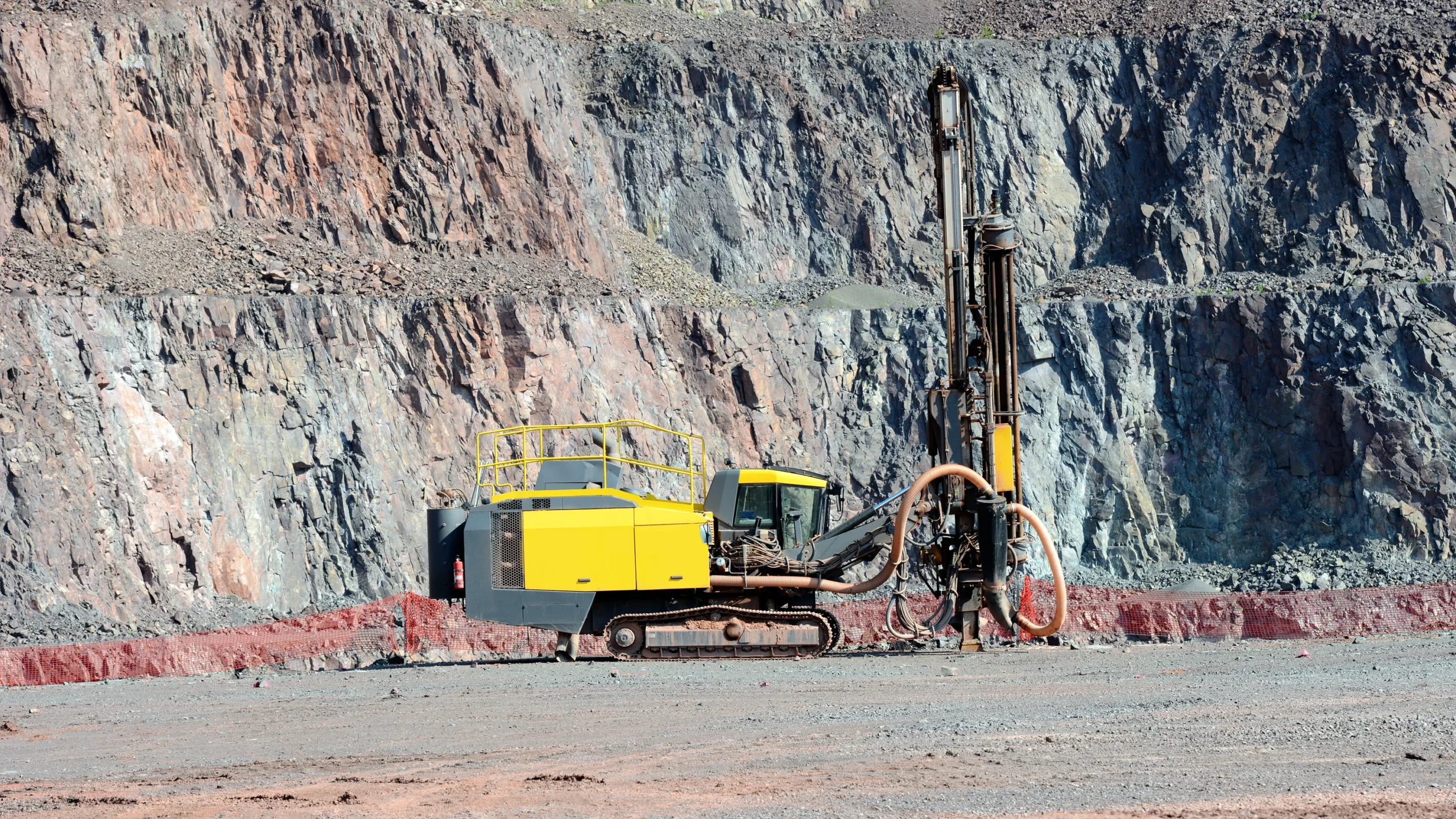
Drilling (Core Diamond Drill)
ESCC can provide core drilling services with different sizes and inclinations. Moreover, can be provide down hole survey and ...
Read More!
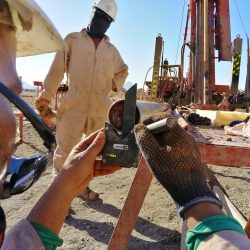
core orientation services for inclined boreholes. Coring will be carried out by competent drillers with proven records of maximizing recovery and quality of cores, by skilled selection of drilling parameters and matching of core run lengths to prevailing ground conditions. On retaining of the core barrel, the rock cores are carefully extracted from the core barrel in a horizontal manner, using a core extractor (or water pressure in rare cases), where the cores are transferred and preserved in boxes.
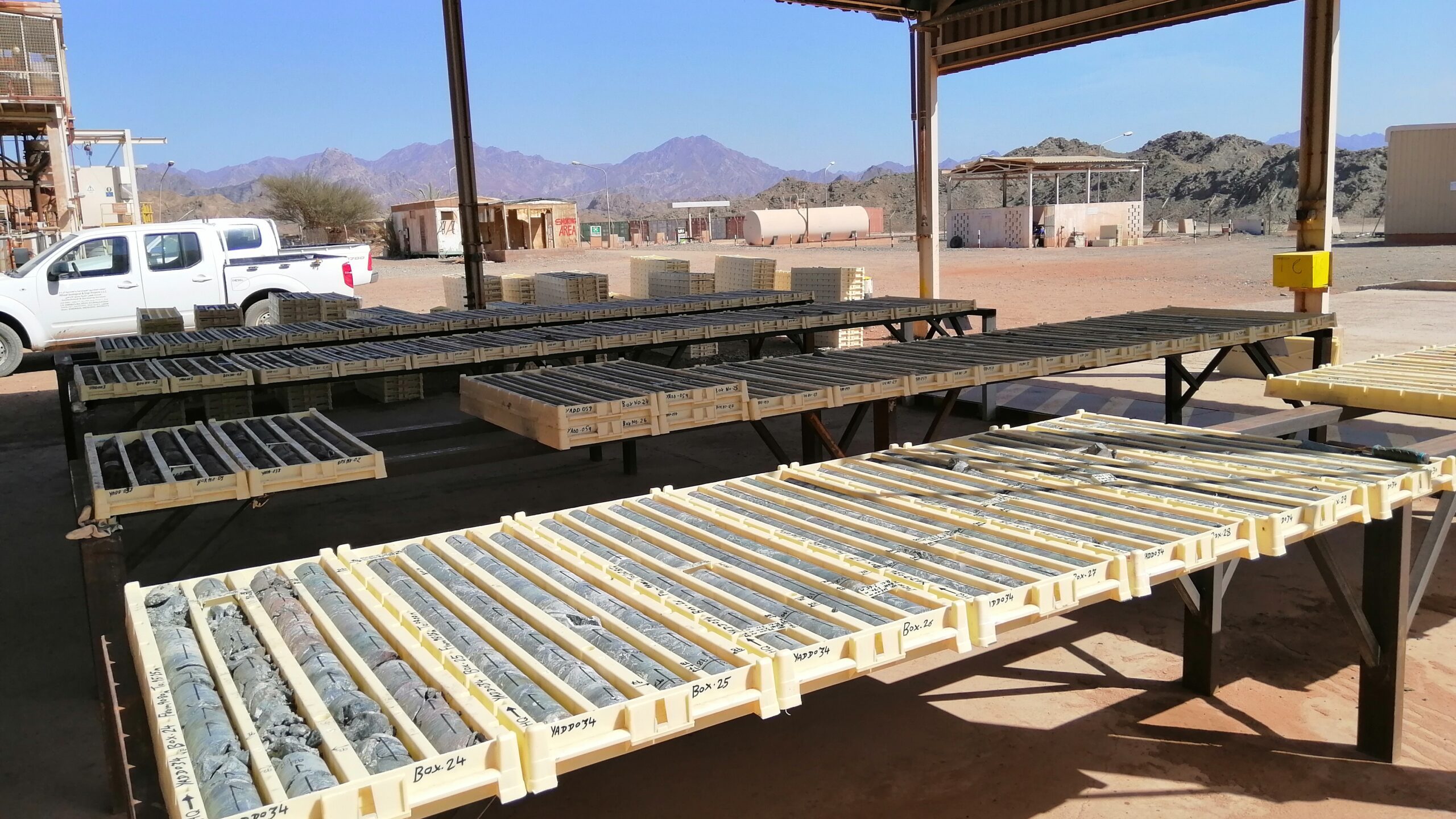
Core description
We could support in interpreting structural features in cores and in running detailed reservoir rock typing ...
Read More!
involving integrating geological data (core & thin sections) and petrophysical properties. For logging, rock cores will be described in accordance with the requirements of international standards.
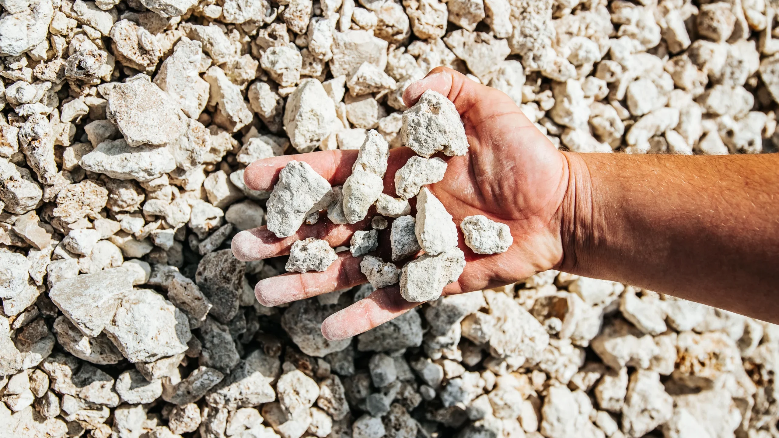
Sampling and Lab analysis
ESCC mostly using international standards for cores sampling and packing, with splitting cutting properly ...
Read More!
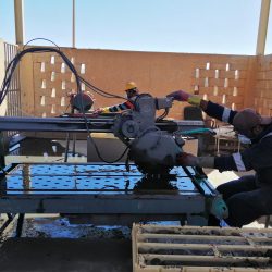
either half or quarter cutting as well as adding blanks and CRMs for more precisely cross chickening, with apply high level of QAQC. ESCC can provide direct and indirect different types of lab analysis for core and rock samples either inside or outside Oman.
Geophysical interpretation, structural analysis and static modeling
Our expert structural geologists have worked on different ...
Read More!
depositional and structural styles in Oman, both surface and subsurface, and have vast experience in the geological evolution of Oman through time. We could support in running full-loop seismic interpretation, structural analysis and 3D static modeling projects.
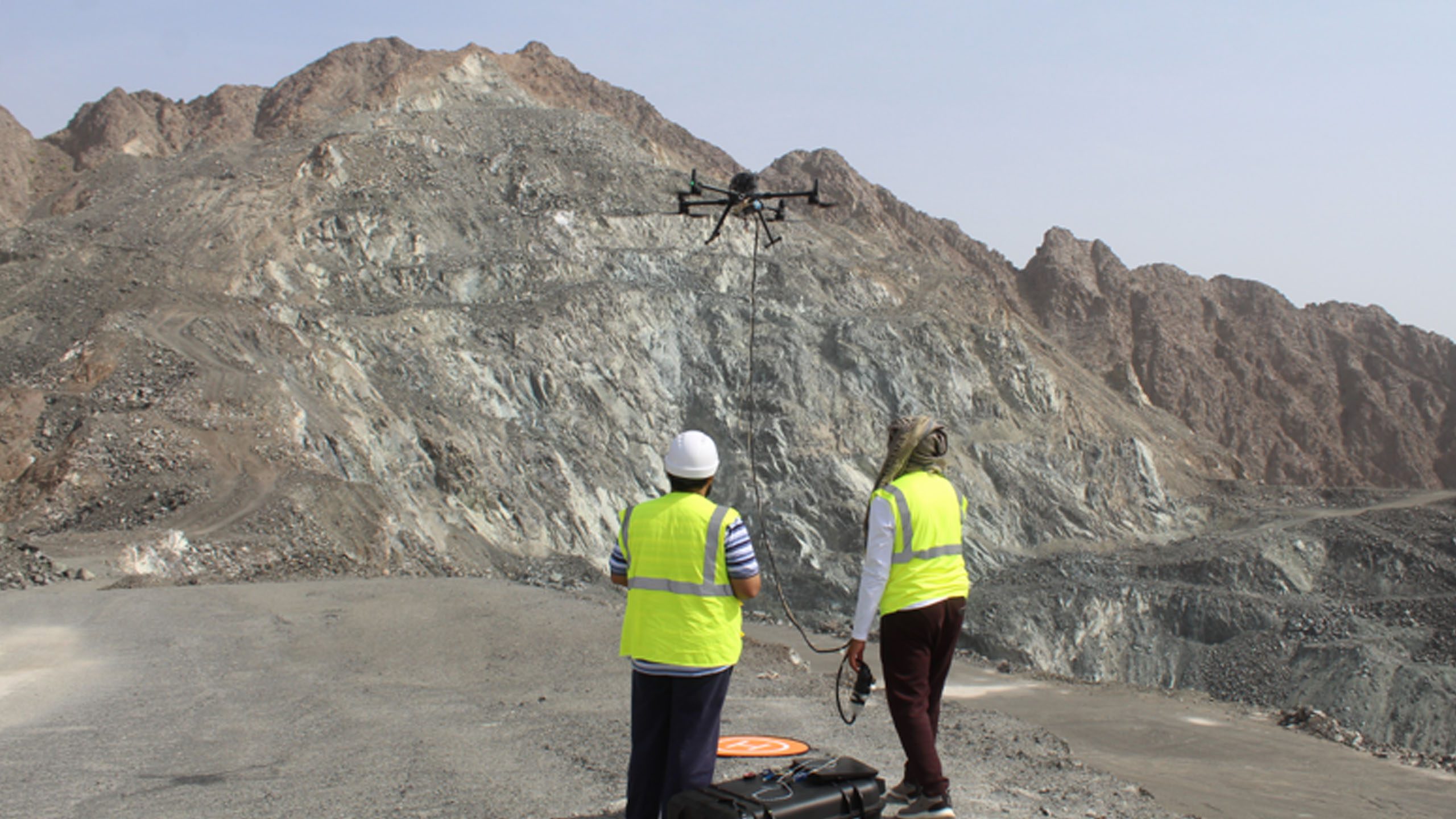
Photographic and video surveys
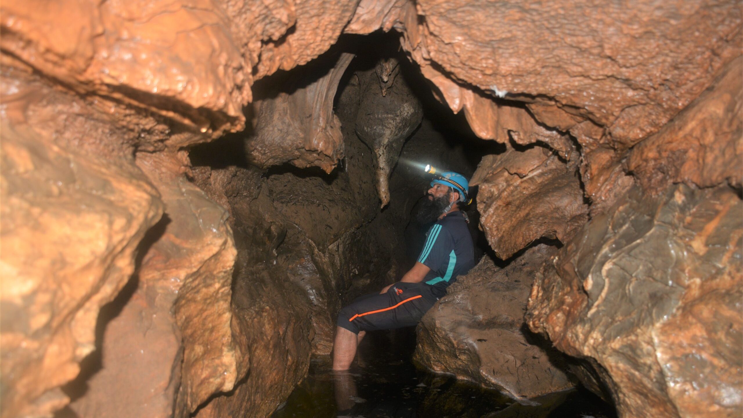
We could run two main classes of photographic and video surveys: terrestrial or ground photogrammetry and ...
Read More!
aerial photogrammetry. Both surveys could be incorporated with the other types of surveys to determine distances, elevations, areas, volumes and cross-section for geological, environmental or other purposes.
Organization of field trips/workshops
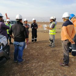
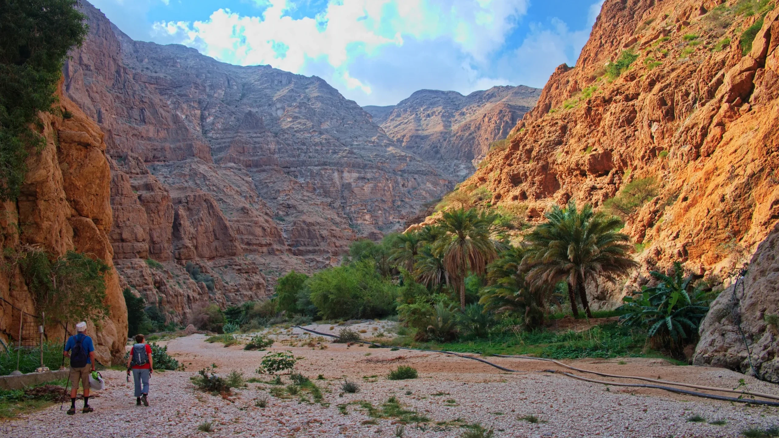
The staff members of the ESCC have an experience in organizing and planning geological field ...
Read More!
trips for more than 10 years. This includes trips for oil companies targeting specific challenges. We have also done field trips for societies like: AAPG, EAGE and the Geological Society of Oman.
Our Servies

Mining Block Evaluation Studies
Our team is authorized to evaluate mining concession areas in Oman as per the international standards ...
Read More!
and the Ministry of Energy and Minerals standard. We could arrange for various types of analyses, including chemical, physical and some geophysical tests for different types of minerals and rocks.

Topographic Studies and GIS Services
We could provide the following services: topographic and boundary survey contour mapping, pipeline route survey, ...
Read More!
residential lot survey, plant survey, staking of lot corners, cadastral survey, construction survey setting out/demarcation as built survey, route surveys, volumetric survey, volumetric calculation for site preparation and backfilling, and Geographic Information Systems “GIS” services.

Petroleum Reservoir Characterization & Integrated Studies
The ESCC staff members have been involved in many projects related to reservoir characterization and ...
Read More!
integrated studies of petroleum field development plans. The studies included different clastic and carbonate reservoirs in various parts of Oman.

Drilling (Core Diamond Drill)
ESCC can provide core drilling services with different sizes and inclinations. Moreover, can be provide down hole survey and ...
Read More!
core orientation services for inclined boreholes. Coring will be carried out by competent drillers with proven records of maximizing recovery and quality of cores, by skilled selection of drilling parameters and matching of core run lengths to prevailing ground conditions. On retaining of the core barrel, the rock cores are carefully extracted from the core barrel in a horizontal manner, using a core extractor (or water pressure in rare cases), where the cores are transferred and preserved in boxes.

Core description
We could support in interpreting structural features in cores and in running detailed reservoir rock typing ...
Read More!
involving integrating geological data (core & thin sections) and petrophysical properties. For logging, rock cores will be described in accordance with the requirements of international standards.

Sampling and Lab analysis
ESCC mostly using international standards for cores sampling and packing, with splitting cutting properly ...
Read More!
either half or quarter cutting as well as adding blanks and CRMs for more precisely cross chickening, with apply high level of QAQC. ESCC can provide direct and indirect different types of lab analysis for core and rock samples either inside or outside Oman.

Geophysical interpretation, structural analysis and static modeling
Our expert structural geologists have worked on different ...
Read More!
depositional and structural styles in Oman, both surface and subsurface, and have vast experience in the geological evolution of Oman through time. We could support in running full-loop seismic interpretation, structural analysis and 3D static modeling projects.

Photographic and video surveys
We could run two main classes of photographic and video surveys: terrestrial or ground photogrammetry and ...
Read More!
aerial photogrammetry. Both surveys could be incorporated with the other types of surveys to determine distances, elevations, areas, volumes and cross-section for geological, environmental or other purposes.

Organization of field trips/workshops
The staff members of the ESCC have an experience in organizing and planning geological field ...
Read More!
trips for more than 10 years. This includes trips for oil companies targeting specific challenges. We have also done field trips for societies like: AAPG, EAGE and the Geological Society of Oman.
Gallery
